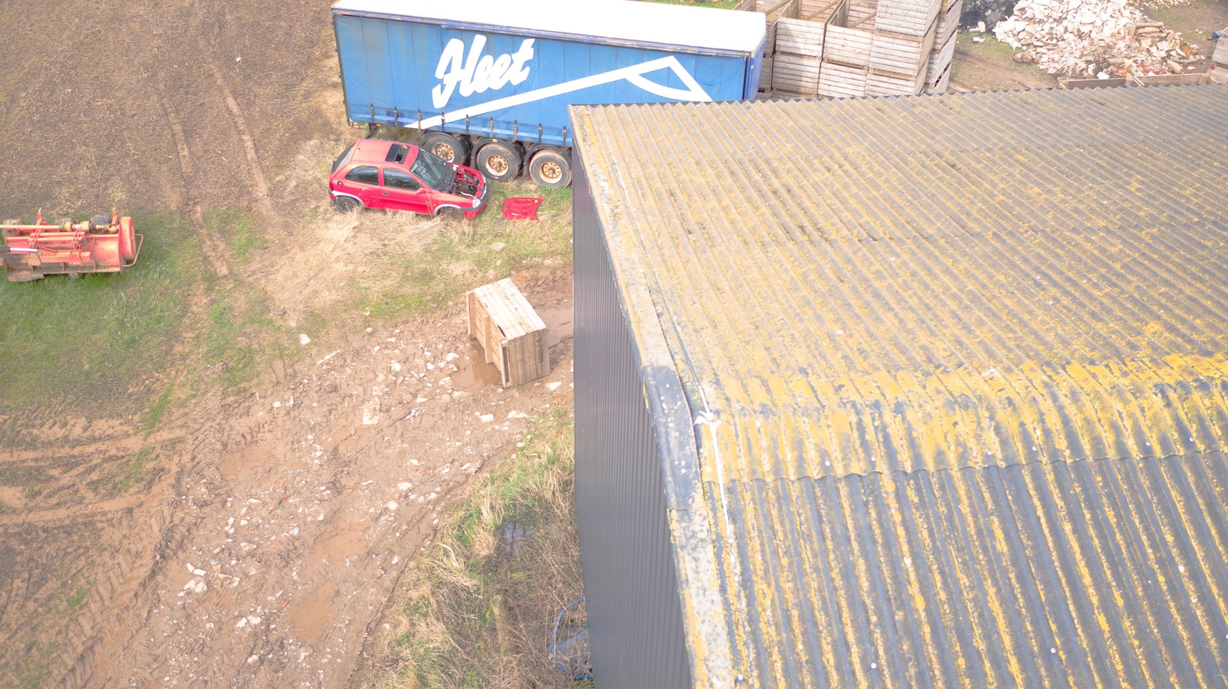
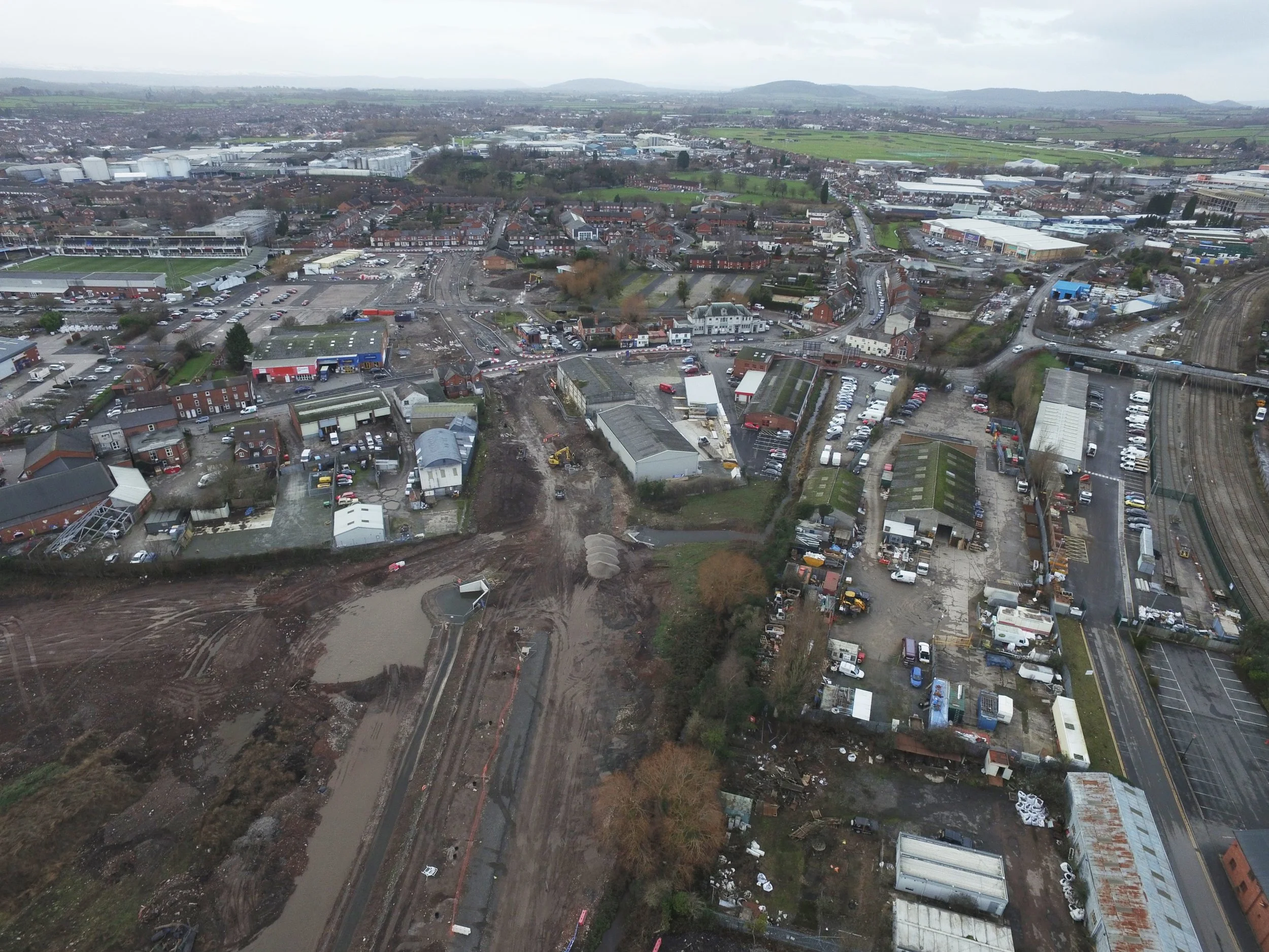
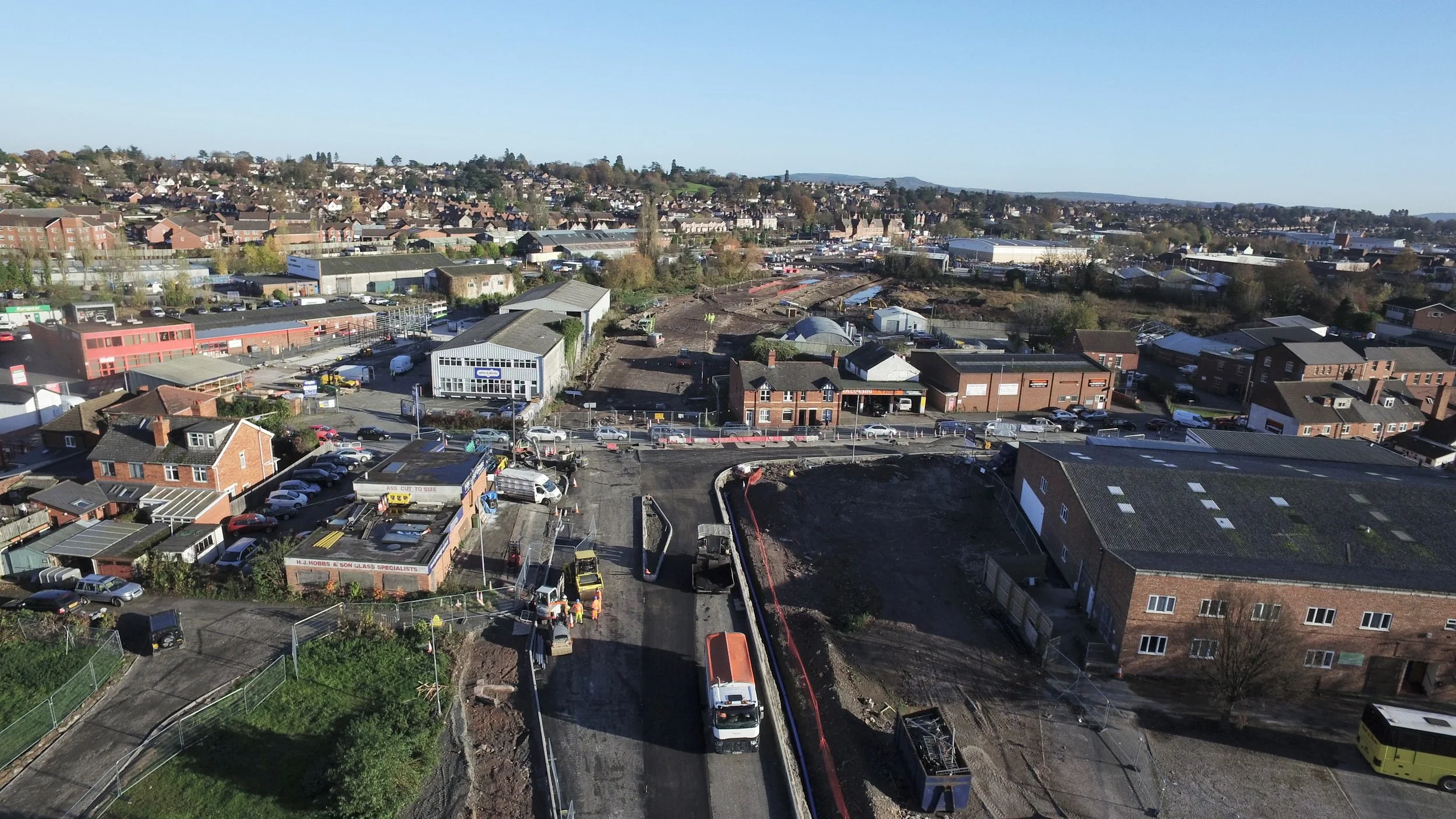
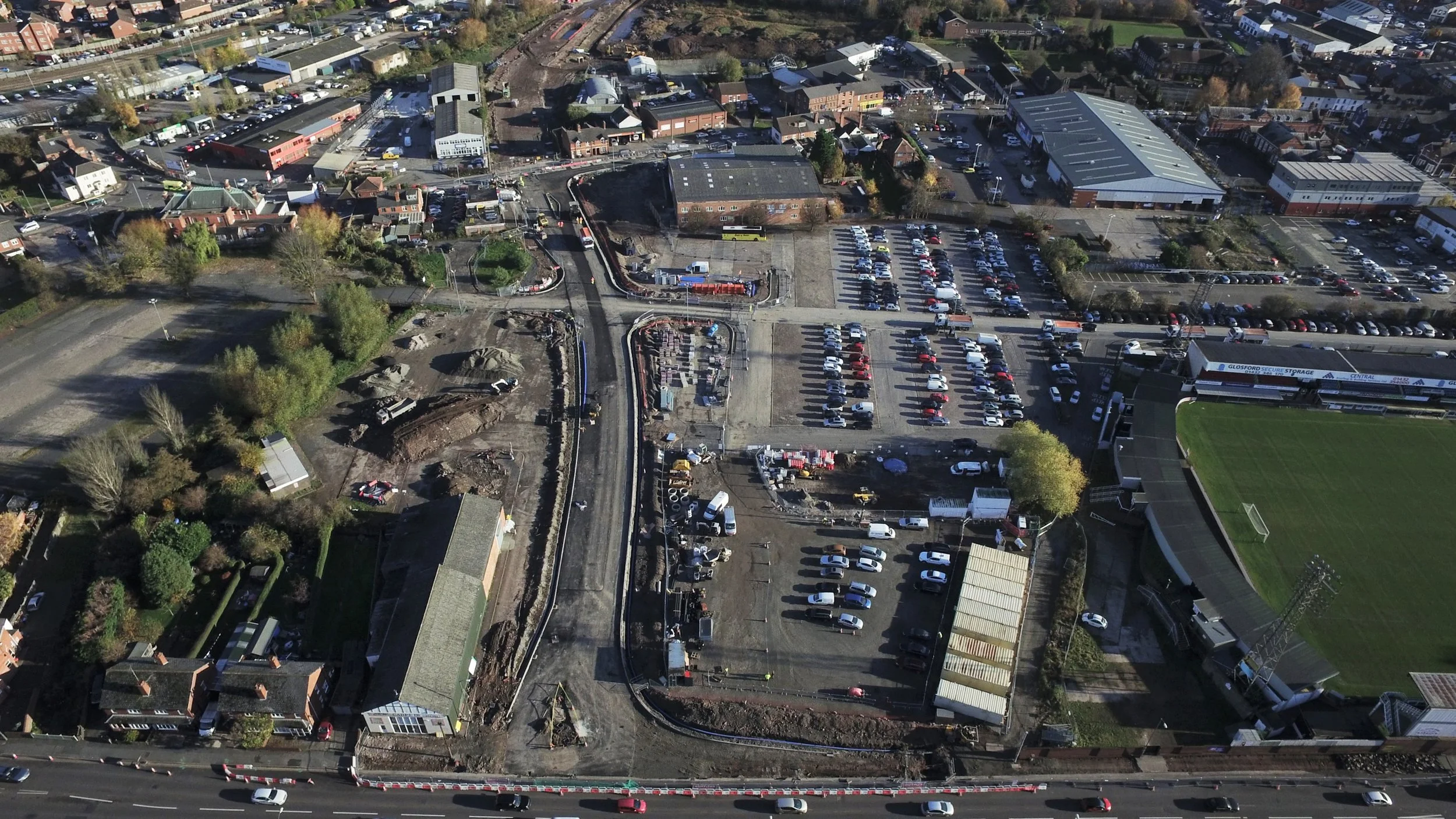
- Construction Site Surveys. 
- High quality aerial photographs and video. 
- 2D and 3D maps that calculate all site measurements including volume and elevation. 
- Monitoring progress / completion schedule. 
- Interactive 3D models, enabling the client to take a virtual walk around the site. 
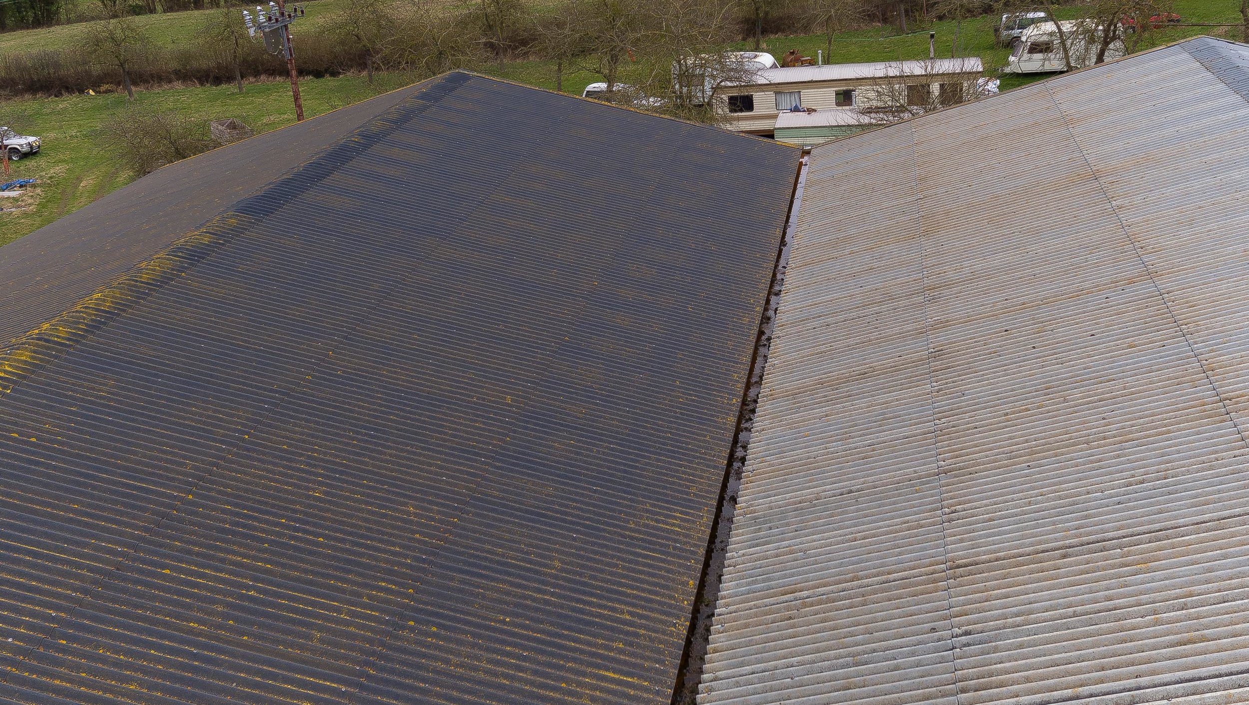
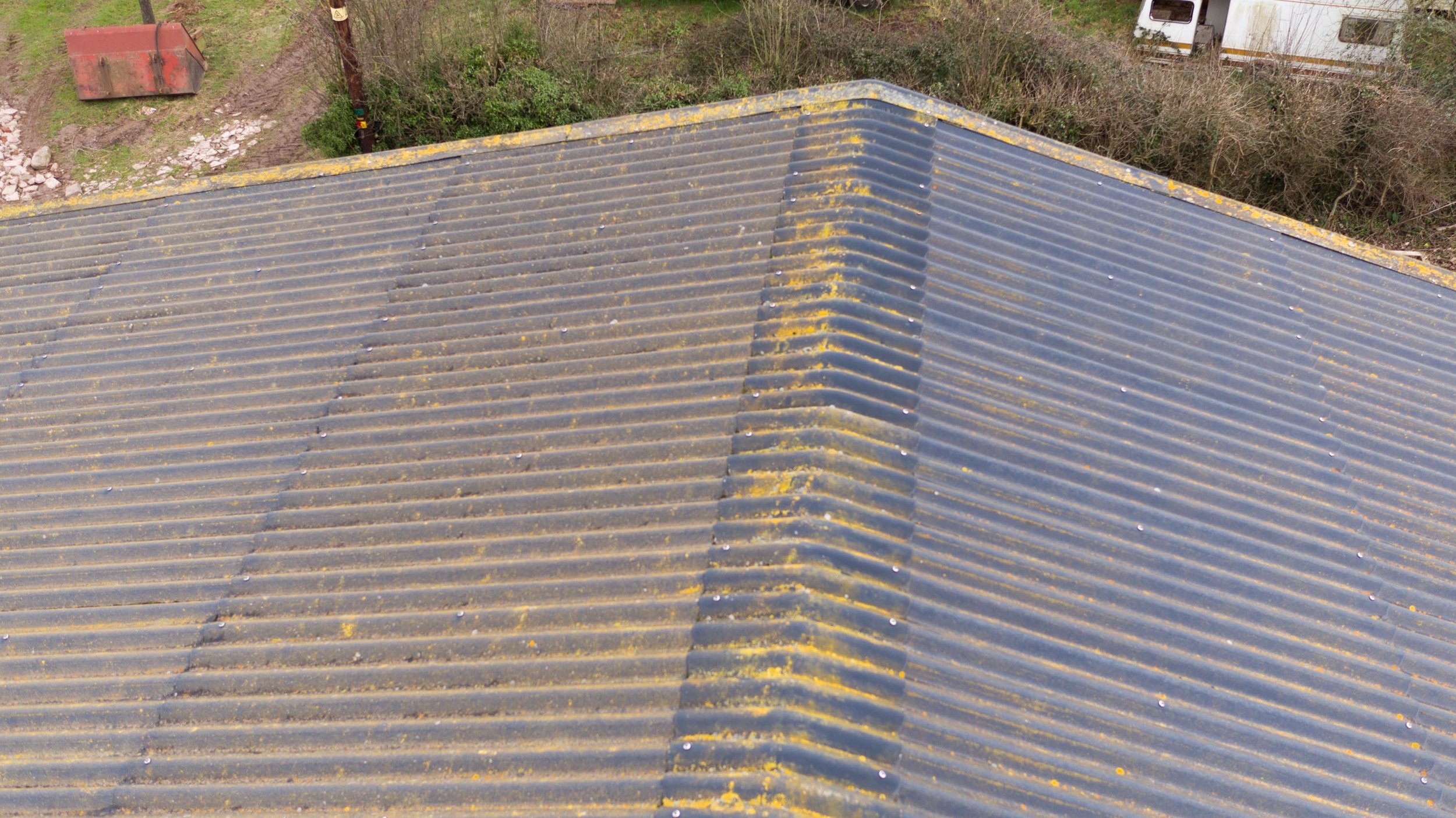
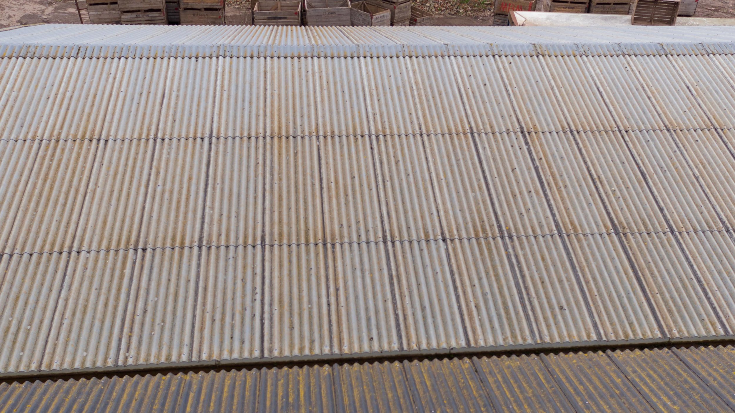
- Easier identification of potential issues from an aerial perspective. 


              